Natural North Florida Paddling Trails
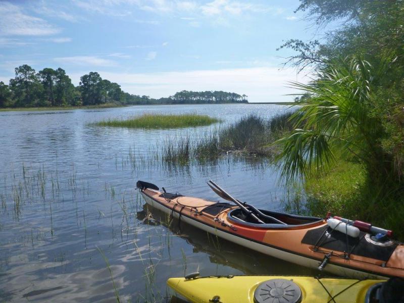
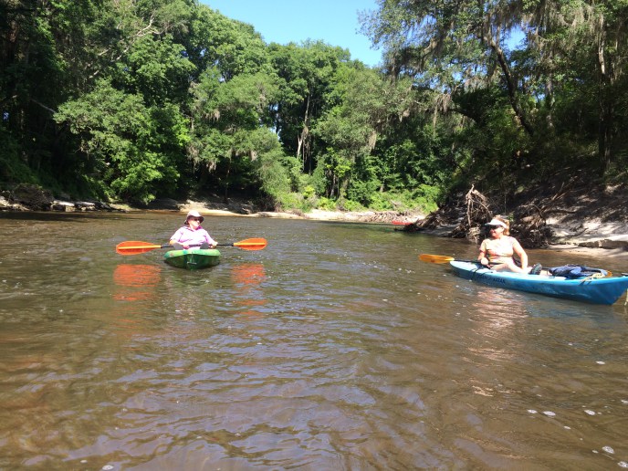
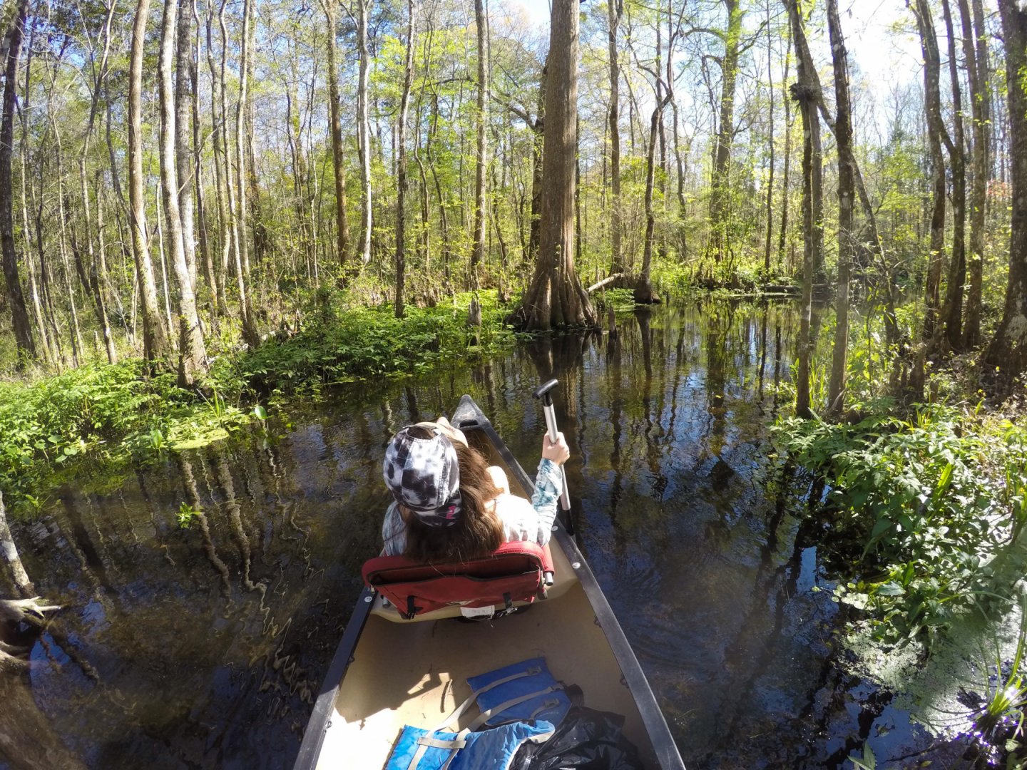
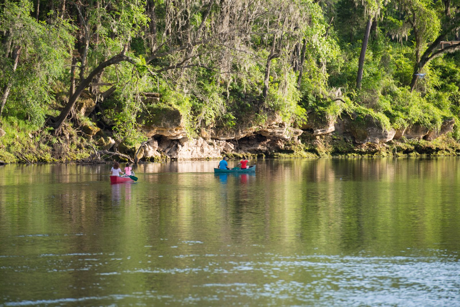
Paddling is to Florida what hiking is to the great American west. Natural North Florida has over 750 miles of paddling trails, including Segments 5 and 6 of the Florida Circumnavigational Saltwater Paddling Trail as well as the 171 mile Suwannee River Wilderness Trail. Natural North Florida paddling trails are indeed natural. None of our rivers have dams, levies or other flood control structures.
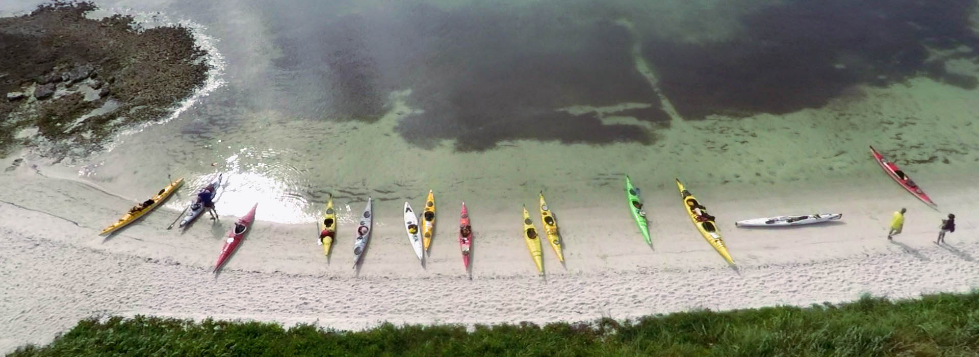
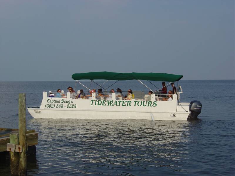
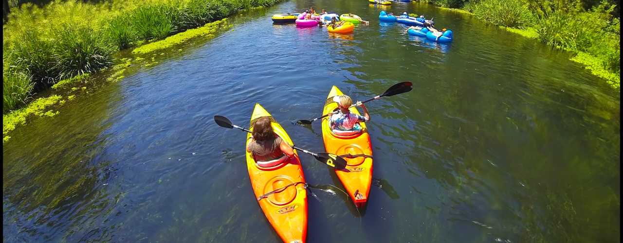
Paddling trips in Natural North Florida can be as short as one hour where outfitters provide kayaks and canoes to 10 days or longer. All of our rivers are flatwater rivers as Florida has no true whitewater. The closest is a small segment of Class III whitewater on the upper Suwannee at a place called Big Shoals. However, those looking for a true paddling challenge and adventure can find it on segments 5 and 6 of the Florida Circumnavigational Saltwater Paddling Trail.
Natural North Florida river levels fluctuate widely depending on rainfall. If river levels are too low, paddlers may "bottom out" and have to portage. If water levels are too high (flood stage), they are dangerous and should be avoided until river levels return to normal. Paddlers should call ahead to one of the local paddling guides for information and recommendations on river levels and conditions.
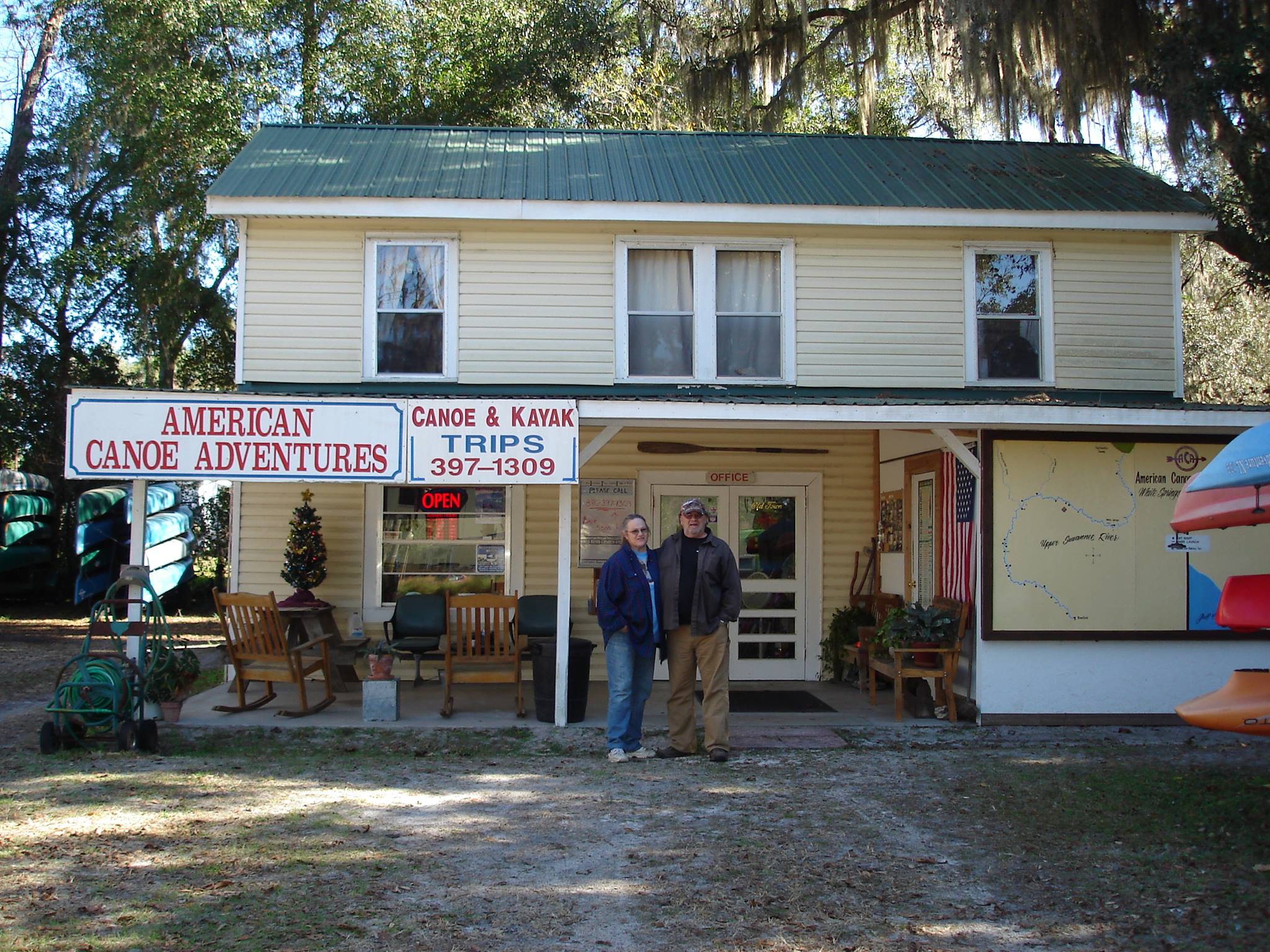
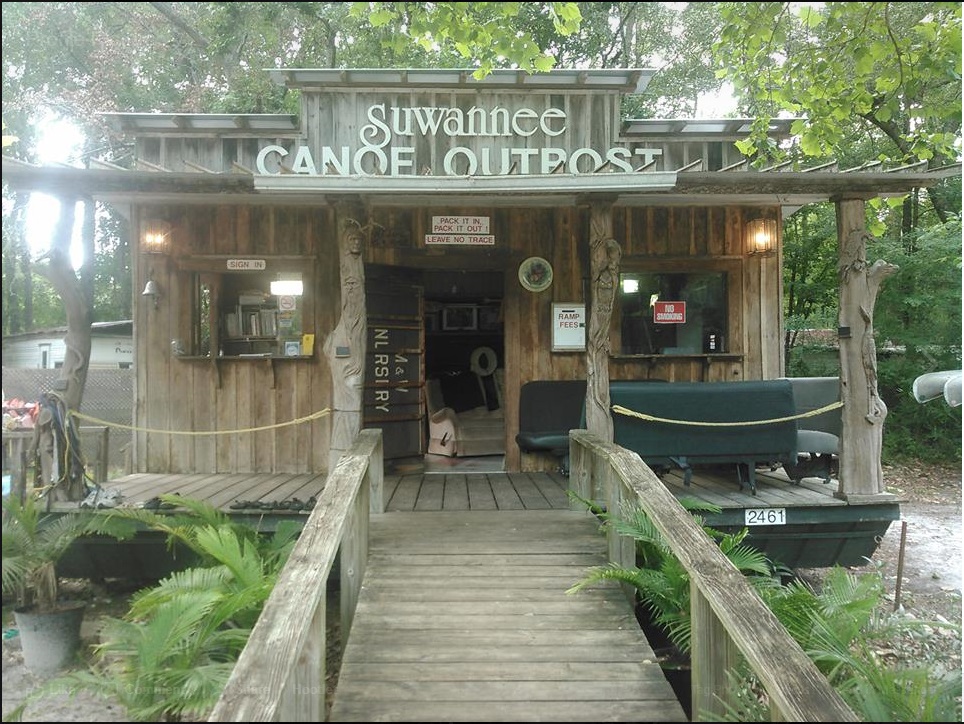
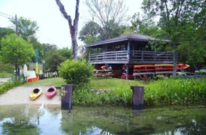
Visit Natural North Florida has many paddling guides and outfitters who can provide you with kayak and SUP rentals for as short as one hour or can outfit you for a week-long (or longer) trip. Our paddling guides and outfitters can be found here.
The pins on the paddling page map provide detailed information on the paddling trails located in the region. Each includes a brief synopsis of the trail as well as links to a detailed map and guide. A Directions button is also provided. Open our website on your cell phone to the desired paddling trail, click the Directions button and receive turn-by-turn GPS directions to the trailhead (or at least somewhere close to it).
MAPS AND PRINTED GUIDES
Maps and trail guides provided by Visit Natural North Florida were developed by the following organizations. Cell phone users: Press “Open Map” at the top of the page for paddling trails.
Florida Office of Greenways and Trails publishes maps and guides for all State-designated paddling trails. It also has useful information regarding setting GPS location formats, minimum river flows for paddling trails and recommended safety equipment for extended trips.
The Florida Office of Greenways and Trails also maintains a web page for the Florida Circumnavigational Saltwater Paddling Trail. The page provides access to detailed information for planning a trip, GPS waypoint data as well as other items of interest. A booklet covering Segments 5 and 6 of the trail can be downloaded here.
Friends of the Lower Suwannee and Cedar Keys National Wildlife Refuges have recently published a set of coastal paddling trail maps and guides. Their maps and guides are included in the Visit Natural North Florida paddling page.
Florida State Parks maintains a separate website for the 171 mile Suwannee River Wilderness Trail. Call them at 800-868-9914 for river camp reservations and permits. A paddling guide to the entire trail is published and maintained by Visit Natural North Florida and can be downloaded here.
PADDLING CLUBS AND ORGANIZATIONS
- Florida Paddling Trails Association
- Hidden Coast Paddling Adventure
- Paddle Florida
- Gulf Coast Kayaking Club
DISCLAIMER
The Original Florida Tourism Task Force (dba Visit Natural North Florida) and the North Central Florida Regional Planning Council do not warrant the accuracy or timeliness of these maps and paddle guides or the safety of these trails for use by paddlers. Paddlers should use this trail only if they have the adequate skill level and equipment, and paddlers must make that determination. Paddlers should also check weather forecasts and water levels in advance to avoid unnecessary danger. The Original Florida Tourism Task Force, the local governments in which these paddle trails are located and the North Central Florida Regional Planning Council are not responsible for any damages whatsoever from their use.