
Get Lost (Or Not!) At Dixie County Florida’s Shired Island
Dixie County has a few “roads to nowhere”, but Hwy 357 actually goes “somewhere”. It runs from about the mid-point of Hwy 351 between Cross City and Horseshoe Beach to Shired Island. Shired Island is bounded by Shired Creek and Johnson Creek and connected to “land” by a short bridge over Shired Creek.
Once you cross onto this once-desolate island you’ll find a very nice boat ramp and a well-kept campground. Shired Island and most of the land on this section of the Gulf coast are in the Lower Suwannee National Wildlife Refuge and maintained by their professional staff.
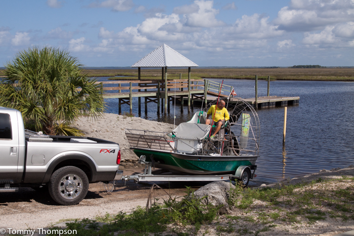
The boat ramp area faces Shired Creek and features a single lane paved ramp and good parking for boat trailers and tow vehicles. There’s also a pier, floating dock and restroom.
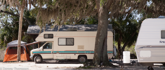
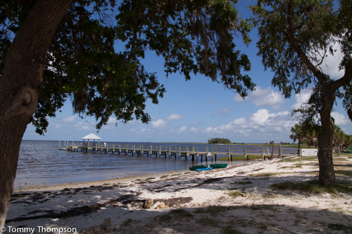
The campground at Shired Island is clean and well laid out. It has sites for primitive camping (RV and tents), picnic shelters, rest rooms, a pump-out station, a fishing pier and a shallow beach.
A trip to Shired Island usually includes a boat, and some of the fishing here is exceptional. Click HERE for a link to a previous post about fishing in the area.
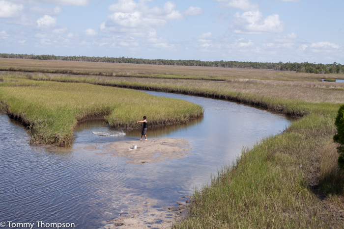
An interest side trip is to the observation tower at the back of Fishbone Creek. It’s adjacent to a dirt boat ramp at the end of SW 800 Avenue, about a mile or so back up Hwy 357 (to the left). Here are some nice views of the marsh and a great place to start a paddling adventure. FYI, backing a trailer could be difficult here, so be forewarned!
2 comments on “Get Lost (Or Not!) At Dixie County Florida’s Shired Island”
Is this campground still open? Google maps and several other places say that it is closed permanently. The actual camping info has been removed from Dixie county’s list of campgrounds (if it was there – I seem to remember it was) http://visitdixie.com/rv.php.
Wynne…I just stopped by the Dixie County Manager’s office and they confirmed that the campground is open. They did say that work crews were currently doing some “touch up” work, but that it’s back to pre-hurricane status.